9,5 km | 17,8 km-effort
Molières
lhomme.ph
Gebruiker GUIDE
Lengte
14,9 km
Max. hoogte
2987 m
Positief hoogteverschil
1381 m
Km-Effort
33 km
Min. hoogte
1605 m
Negatief hoogteverschil
1382 m
Boucle
Ja
Datum van aanmaak :
2015-08-10 00:00:00.0
Laatste wijziging :
2015-08-10 00:00:00.0
6h38
Moeilijkheid : Moeilijk
Gratisgps-wandelapplicatie
Over ons
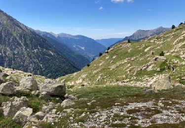
Tocht Stappen van 14,9 km beschikbaar op Catalonië, Lerida, Vielha e Mijaran. Deze tocht wordt voorgesteld door lhomme.ph.
Beschrijving
Trace AlpineQuest 26/07/2015 07:37:33
Plaatsbepaling
Land:
Spain
Regio :
Catalonië
Departement/Provincie :
Lerida
Gemeente :
Vielha e Mijaran
Locatie:
Unknown
Vertrek:(Dec)
Vertrek:(UTM)
316555 ; 4721871 (31T) N.
Opmerkingen
Wandeltochten in de omgeving
Lacs Redon et Rius depuis ES Morassi dera,Val de Molières
Stappen
Zeer moeilijk
Vielha e Mijaran,
Catalonië,
Lerida,
Spain
12,2 km | 24 km-effort
4h 51min
Ja
col conangle
Stappen
Heel gemakkelijk
Vielha e Mijaran,
Catalonië,
Lerida,
Spain
13,1 km | 28 km-effort
7h 30min
Ja
Vall de Besiberri
Stappen
Medium
Vielha e Mijaran,
Catalonië,
Lerida,
Spain
7,4 km | 15,1 km-effort
Onbekend
Ja
Tuc de viehla, départ après le tunnel de viehla à gauche
Stappen
Medium
Vielha e Mijaran,
Catalonië,
Lerida,
Spain
13,2 km | 26 km-effort
7h 34min
Neen
Refugio Conangles, Port de Vielha (2.442m), Vielha (974m)
Stappen
Moeilijk
Vielha e Mijaran,
Catalonië,
Lerida,
Spain
15,8 km | 30 km-effort
6h 0min
Neen
Estranh Redon
Stappen
Medium
Vielha e Mijaran,
Catalonië,
Lerida,
Spain
7,9 km | 15,6 km-effort
3h 6min
Ja
lacs
Stappen
Zeer moeilijk
Vielha e Mijaran,
Catalonië,
Lerida,
Spain
14,7 km | 27 km-effort
6h 7min
Ja
PHR TM Day 24
Stappen
Zeer moeilijk
Vielha e Mijaran,
Catalonië,
Lerida,
Spain
13 km | 25 km-effort
5h 42min
Neen